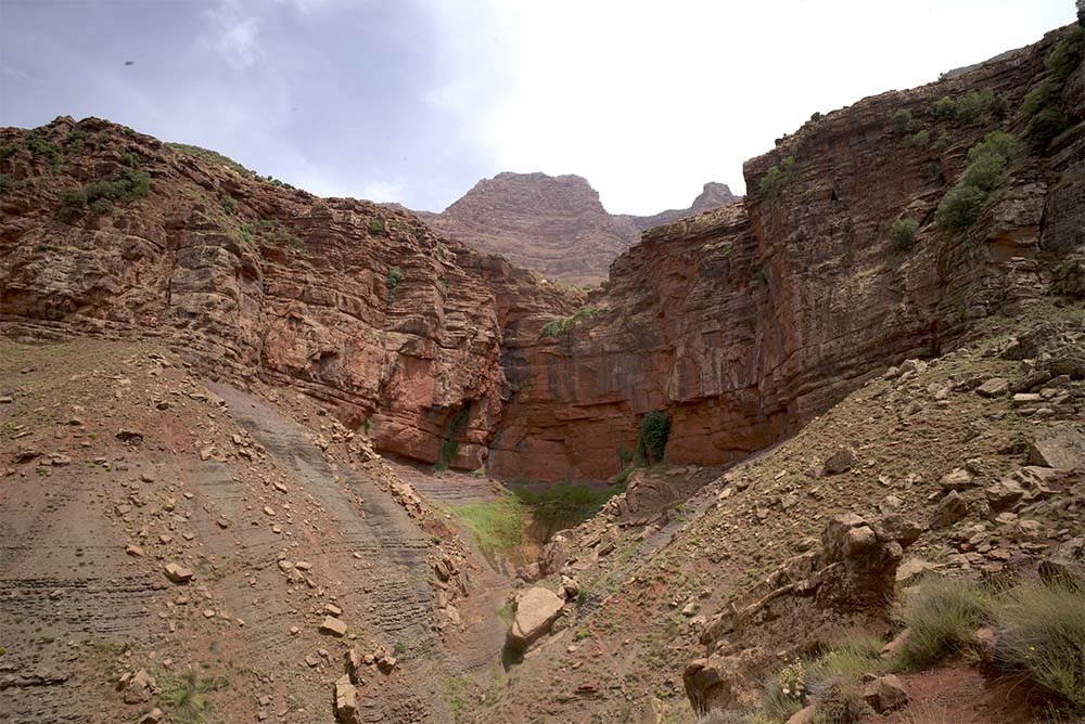
From Dar Rana, one can only see the top of its massive and black silhouette, behind which is the 3595 meters Meltsène triangle, which seems higher than the distant Toubkal from here. The Yagour hides behind its two high cliffs a vast plateau, slightly inclined towards the south, all of which is situated between 2600 and 2800 meters.
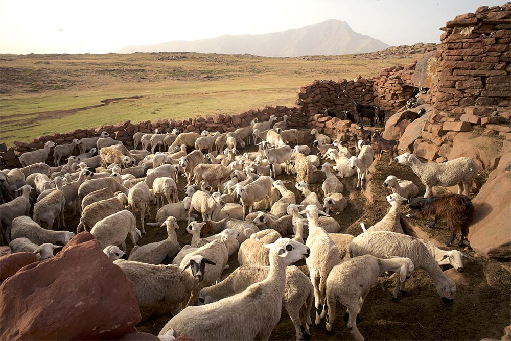
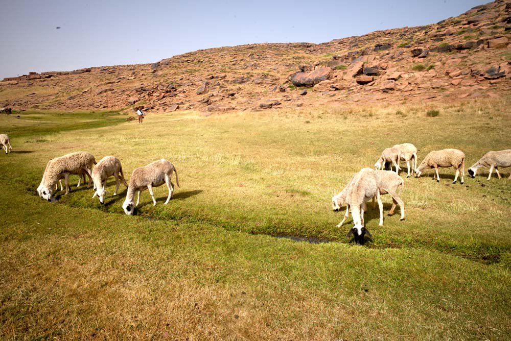
The inhabitants of the numerous villages nestling in the narrow valleys cut into the Yagour sandstone mass herd their sheep and a few horses there from spring to autumn. On this collective pasture, where the presence of the animals is more controlled than that of the men, they find short grass, but that is sufficient to graze on during the six months of this secular migration. The somewhat long path obliges them to live in rough red stone shelters, where herders come to take their turn successively, the duration of which depends on the number of heads they own.
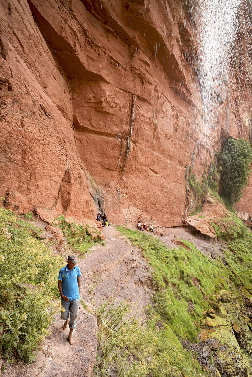
The access to these pastures from the north, in the middle of the cliff, is a rewarding but demanding climb. It is reserved for those who have a sure foot and are accompanied by a local shepherd who will locate the path only familiar to the goats. Halfway along the plateau path, there is a spring of sparkling water, which is said to be a great appetite suppressant.
Hikers traditionally reach it by mule tracks along the Ourika road, a little after Aghbalou. Through the valley of the Wad Zat, a track and various paths lead to Lake Iferd, a temporary small body of water that is always dry in summer.
The plateau is dotted with thousands of rock engravings, making it probably the most plentiful heritage site in the country.
