From Marrakech, the two cones of Tircht and Meltsen appear very clearly to the east, behind the fairly regular Yagour ridge. They are an irresistible temptation to climb.
While looking for a route to this summit during a walk at the bottom of the Zat valley, towards Anssa, I pointed to the mountain that I thought I had identified as Tircht, and I heard the reply: ‘No, that’s Bou Oughyool. Tircht? We don’t know it.’
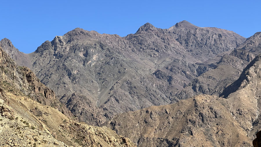
I later learned that it was indeed Tircht. The mountain has two names, depending on whether you look at it from the Zat valley or from the Tichka road to Warzazat. It’s good to know. And it’s better to climb from the Tircht side than from the Bou Oughyool side. On its eastern slope, the mountain is round and rises without difficulty. On its western side, the mountain is jagged, the summit accessible by steep couloirs and the elevation gain from Zat is almost 2,000 m.
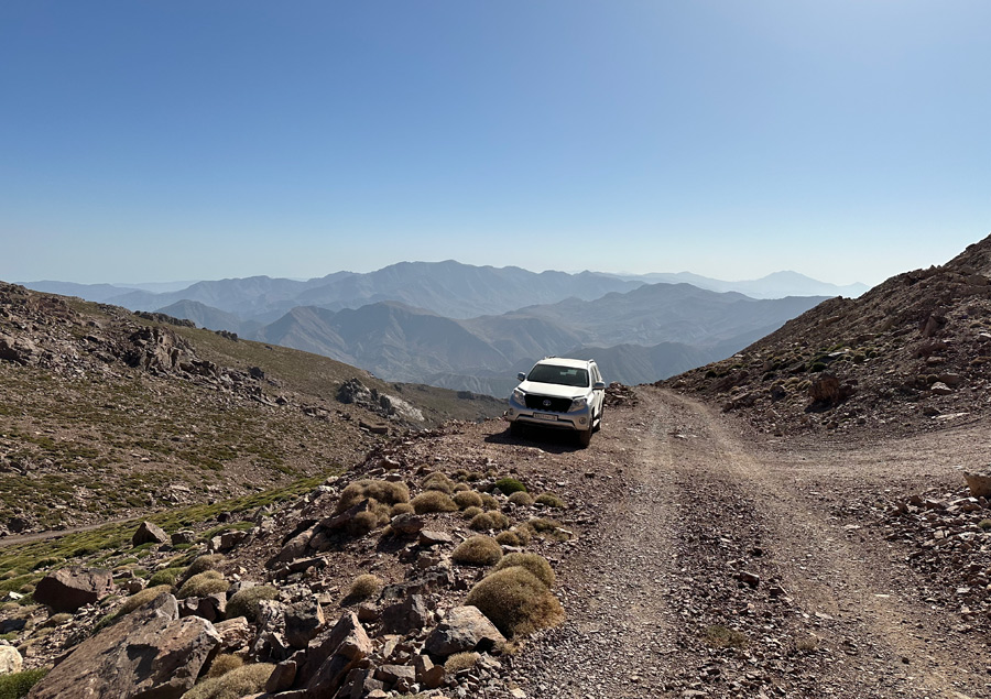
Une piste minière active permet de se rapprocher du sommet pour gagner deux heures de marche.
Access via the Tichka Pass is easier. The first route starts at Assenfou (2,076 m) and climbs up through the springs. A second route starts from the plateau above the Tichka Pass, where there is a car park and honey sellers, and follows a narrow, winding mining track used by lorries transporting barite extracted from small artisanal mines. After 45 minutes to the end of the track, the Tircht is only a two-hour climb away, with no difficulty and an elevation gain of 700 to 800 metres.


Le versant oriental du Tircht est rond, facile d’accès. L’ascension se fait régulièrement sur un itinéraire assez imprécis.
Après 45 minutes jusqu’au bout de la piste, le Tircht n’est plus qu’à deux heures d’ascension sans aucune difficulté, avec une dénivelée de 700 à 800 mètres.
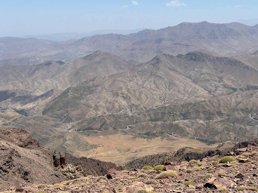
La vue vers le sud donne sur les reliefs stratifiés de l’Anti-Atlas.
From the top of the mountain, the 360-degree panorama is exceptional.


Du haut du Tircht, le panorama vers l’ouest est magnifique. On distingue parfaitement la pyramide du Meltsène (3560 m) et son versant méridional, avec la vallée du Haut Zat, et sur sa droite, le plateau du Yagour. À gauche et derrière le Yagour, la vue porte jusqu’au massif du Toubkal.
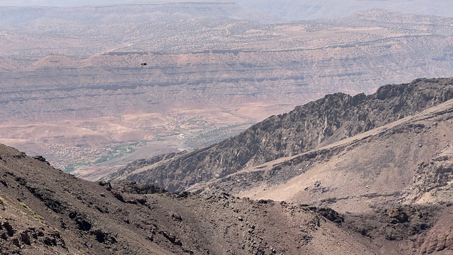
L’épaule du Tircht domine la vallée du Tichka et la route nationale n° 9. On distingue très clairement, au premier plan, la forme allongée du plateau d’Afra, jaune et sec en plein mois d’août.
Access : Tircht is easily accessible from National Road No. 9, either from the café in Assenfou or via the mining track that starts behind the honey sellers on the plateau before the pass. Allow more than two hours from Marrakech.
